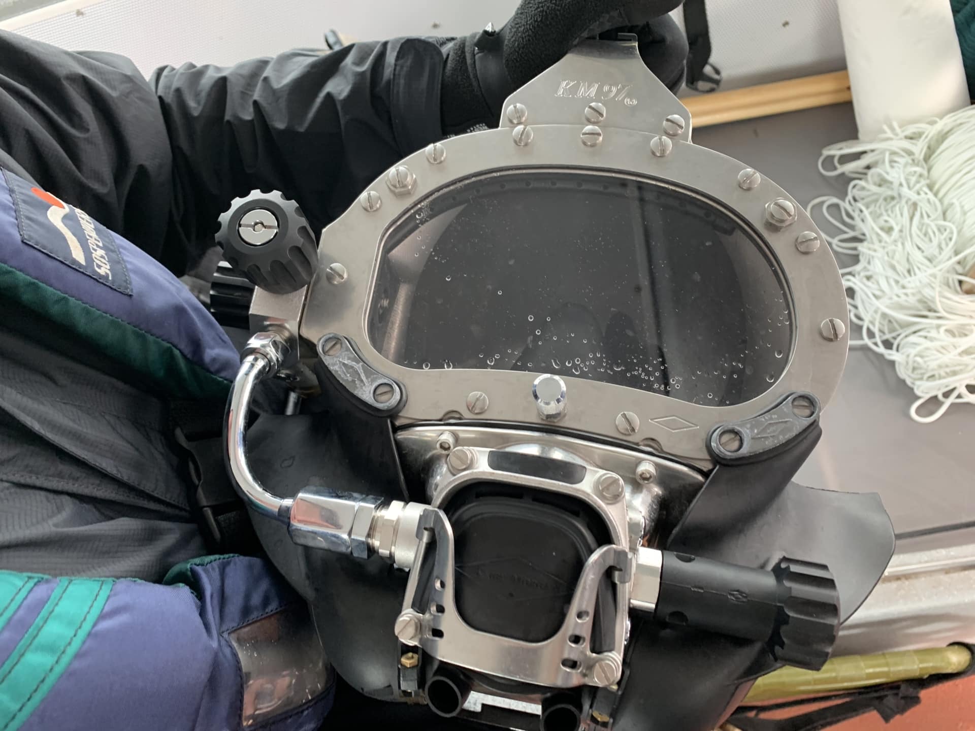
SEDIMENT SAMPLES
Site Description
Taku Inlet Site Description and History
- Sunny Cove and Grizzly Bar are located on the intertidal shoreline of Taku Inlet.
- Both Sunny Cove and Grizzly Bar are located near traditional fish and shellfish resource areas used by tribal members for subsistence purpose. No previous site assessment work has been conducted at either location.
- Both Sunny Cove and Grizzly Bar are located near traditional fish and shellfish resource areas used by tribal members for subsistence purpos No previous site assessment work has been conducted at either location.
Mines
- Historical mining operations and current discharges from the Tulsequah Chief, Big Bull, and New Polaris mines upstream are known to have discharged metals- laden mine wastes into the Tulsequah River.
- These mines include direct discharge of aluminum, arsenic, copper, lead, and zinc into the Tulsequah River and elevated concentrations of arsenic, copper, and selenium in fish tissue.
Taku Inlet Pristine Wilderness
Summery
Analytical results for both Sunny Cove and Grizzly Bar included detected concentrations of arsenic, copper, and zinc.
Although detected, the concentrations are in the typical range for stream sediments found in the area surrounding both sites.
It is unlikely the observed metal concentrations are related to mining activities in the upper Taku River basin.
It is also unlikely that tribal subsistence and cultural uses at these sites would result in significantly greater exposure risks than at other sites of the DIA territory.
Taku Inlet Near the Glacier
Tulsequah Chief Mine
The Tulsequah Chief mine, located 100 km south-west of Atlin B.C., is a historic copper/lead/zinc, silver and gold producer which operated from 1950 to 1957. Themine site is on the Tulsequah River about 10 km upstream from its confluence with the Taku River which drains into Taku Inlet near Juneau, Alaska.
Site Sampling
Taku Inlet River and Wilderness
Analytical Results
- Analytical results for both Sunny Cove and Grizzly Bar included detected concentrations of arsenic, copper, and zinc.
- Although detected, the concentrations are in the typical range for stream sediments found in the area surrounding both sites.
- It is unlikely the observed metal concentrations are related to mining activities in the upper Taku River basin.
- It is also unlikely that tribal subsistence and cultural uses at these sites would result in significantly greater exposure risks than at other sites of the DIA territory.
Previous Sampling on the Taku
Hydrology and Glacier-Lake Outburst Floods (1987–2004) and Water Quality (1998–2003) of the Taku River
Can get a copy of the Report at:
The U.S. Geological Survey in cooperation with Douglas Indian Association, Alaska Department of Environmental Conservation, and the U.S. Environmental Protection Agency conducted a water-quality and flood- hydrology study of the Taku River. Water-quality sampling of the Taku River from 1998 through 2003 established a baseline for assessing potential effects of future mining operations on water quality.
The author gratefully acknowledges the assistance of Douglas Dobyns of the DIA for his help with fieldwork and logistics throughout the duration of the study.
TRP Coordinators: Kamal Lindoff & Bernadine DeAsis
TRP Phone Number: (907) 364-2916


Leave A Comment